My friends at Stamen keep doing wonderful new things to maps. Today’s innovation: a globe’s worth of map tiles rendered automatically in the style of a watercolor painting.
This is the kind of project I could only dream of, back when I was doing this kind of research. So much has happened since then! Stamen’s tiles combine scanned watercolor textures with vector map data from Open Street Maps, and various image-based filters for effects like edge darkening. The results are organic, seamless and beautiful. Even though I know the textures will repeat themselves eventually, I can’t help scrolling out into the ocean, just to see what’s there.
Update: Zach has posted a really nice step-by-step breakdown of how they did this. (Gaussian blurs and Perlin noise are your friends here.) I particularly love the way they use small multiples and animated gifs to explore the parameter space:
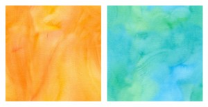
Update 2: And now Geraldine has put up her post about painting the watercolor background textures. A process of discovery and exploration, with much trial and error. As a bonus, she’s put up a set of lovely texture samples on Flickr.


This is awesome Cassidy, thanks for the link!
For a treat, download the Openmaps app on an iPad and set it up as they explain on the Stamen site.
Now I want to make my own tiles!
Wow, I just tried that, and it works beautifully on my phone!
I don’t think I could have imagined any of this back when I was doing my research. Open Street Maps didn’t exist yet. Google Maps didn’t exist yet. Hell, Google didn’t even exist yet!